


Scenery of Kanbula National Geopark in China's Qinghai
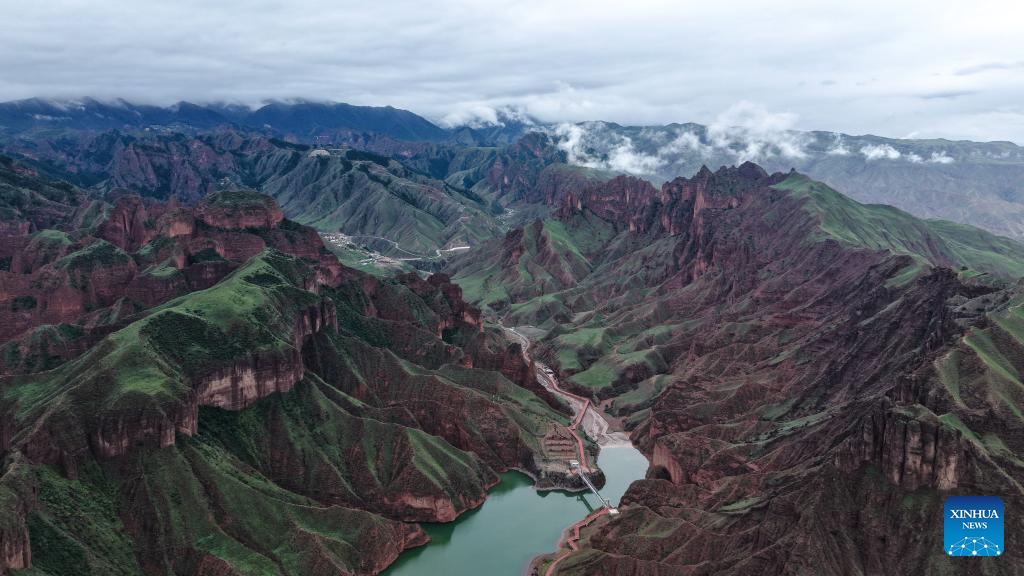
An aerial drone photo taken on July 24, 2025 shows a view of the Kanbula National Geopark in Huangnan Tibetan Autonomous Prefecture, northwest China's Qinghai Province. Nestled on the northeastern edge of the Qinghai-Tibet Plateau, the Kanbula National Geopark spans roughly 3,149 square kilometers with striking fiery-red Danxia landforms, towering jagged peaks, hidden caves and emerald lakes. Beyond its visual splendor, the park's true value lies beneath the surface, serving as a premier location for geoscientific research and public science education. (Xinhua/Qi Zhiyue)
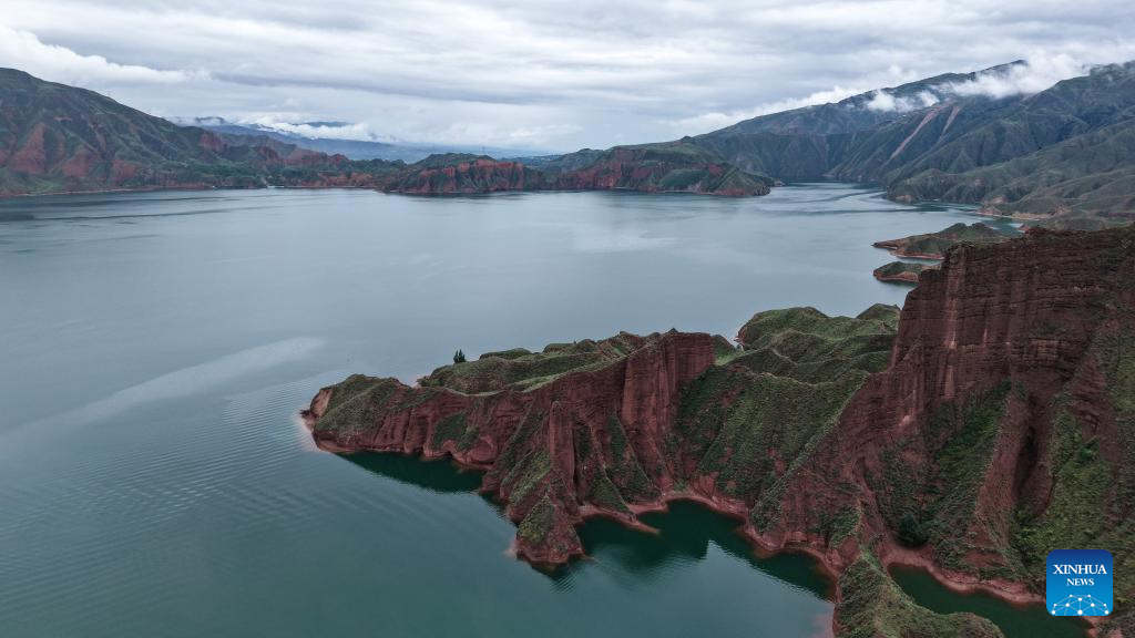
An aerial drone photo taken on July 24, 2025 shows a view of the Kanbula National Geopark in Huangnan Tibetan Autonomous Prefecture, northwest China's Qinghai Province. Nestled on the northeastern edge of the Qinghai-Tibet Plateau, the Kanbula National Geopark spans roughly 3,149 square kilometers with striking fiery-red Danxia landforms, towering jagged peaks, hidden caves and emerald lakes. Beyond its visual splendor, the park's true value lies beneath the surface, serving as a premier location for geoscientific research and public science education. (Xinhua/Qi Zhiyue)
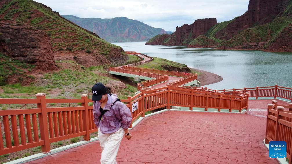
A tourist visits the Kanbula National Geopark in Huangnan Tibetan Autonomous Prefecture, northwest China's Qinghai Province, July 24, 2025. Nestled on the northeastern edge of the Qinghai-Tibet Plateau, the Kanbula National Geopark spans roughly 3,149 square kilometers with striking fiery-red Danxia landforms, towering jagged peaks, hidden caves and emerald lakes. Beyond its visual splendor, the park's true value lies beneath the surface, serving as a premier location for geoscientific research and public science education. (Xinhua/Qi Zhiyue)
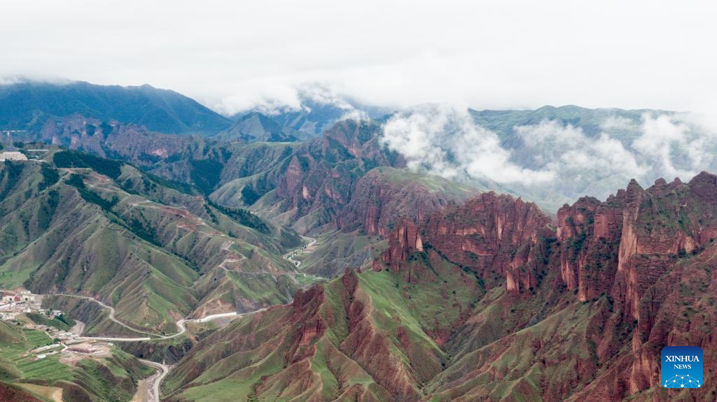
An aerial drone photo taken on July 24, 2025 shows a view of the Kanbula National Geopark in Huangnan Tibetan Autonomous Prefecture, northwest China's Qinghai Province. Nestled on the northeastern edge of the Qinghai-Tibet Plateau, the Kanbula National Geopark spans roughly 3,149 square kilometers with striking fiery-red Danxia landforms, towering jagged peaks, hidden caves and emerald lakes. Beyond its visual splendor, the park's true value lies beneath the surface, serving as a premier location for geoscientific research and public science education. (Xinhua/Wang Yan)
Photos


Related Stories
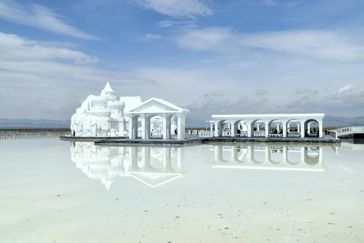
- China's stunning 'mirror of the sky' becomes tourist magnet
- Photovoltaic park in NW China's Qinghai highlights harmony between man and nature
- Weaving heritage: The timeless art of Tibetan carpets
- Pic story of beekeeper and his flower-chasing journey in Qinghai
- Qinghai pioneers green growth with ecology-first strategy
- World's highest cycling race showcases China's eco-civilization
- Salt lake industry thrives in NW China's Qinghai
- Wheels up in Qinghai: Altitude training at Duoba Base
- Emergency response to flooding activated for NW China's Qinghai
- NW China's Qinghai turns cold weather into hot economic growth
Copyright © 2025 People's Daily Online. All Rights Reserved.
 久久精品视频免费试看