


Sand control, afforestation efforts in China's largest desert
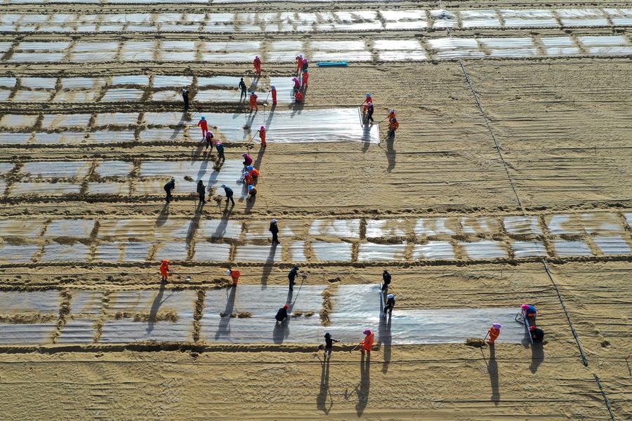
An aerial drone photo taken on April 8, 2025 shows people planting coix at a sand industry experimental base in Yutian County of Hotan Prefecture, northwest China's Xinjiang Uygur Autonomous Region. (Xinhua/Ding Lei)
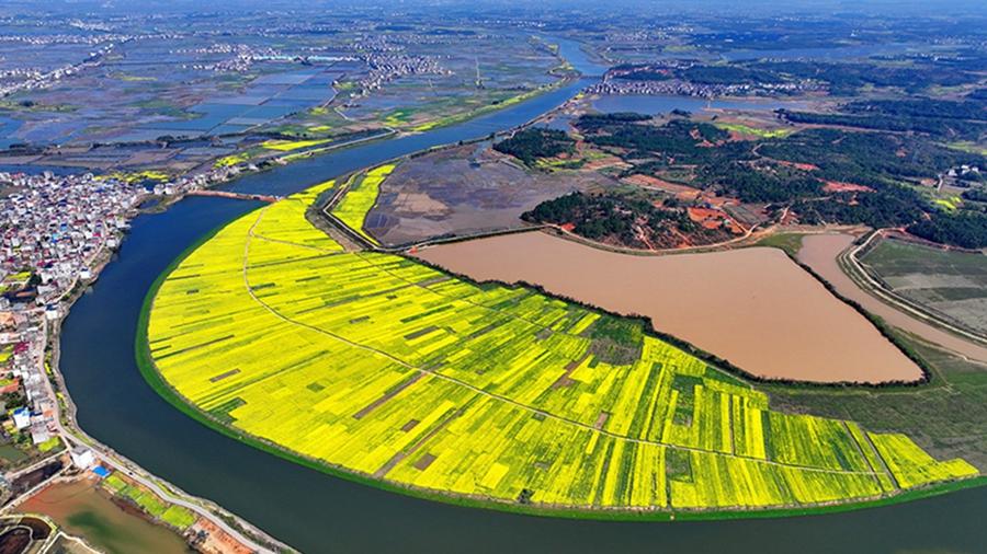
URUMQI, April 14 (Xinhua) -- The Taklimakan Desert in northwest China's Xinjiang Uygur Autonomous Region covers 337,600 square kilometers and its circumference measures 3,046 kilometers, making it the largest desert in China and the second-largest drifting desert in the world.
Thanks to decades-long sand prevention and control efforts, the Taklimakan Desert was completely encircled with a sand-blocking green belt on Nov. 28, 2024.
In 2025, Xinjiang aims to afforest a land area of about 796,000 hectares, including 562,666 hectares for frontline control in the Taklimakan Desert. These afforestations form a part of the Three-North Shelterbelt Forest Program, the world's largest afforestation program, which tackles desertification in northwest, north and northeast China.
Meanwhile, Xinjiang will further widen the sand-blocking green belt and enhance desert-locking efforts to achieve sustainable sand control while improving local livelihoods.
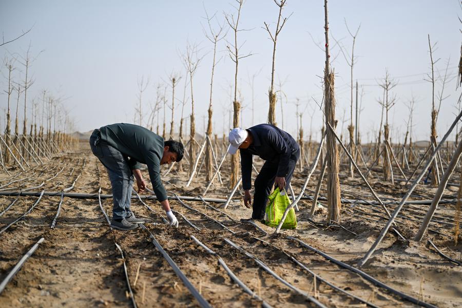
People arrange drip irrigation pipes at a sand-control experimental base in Yutian County of Hotan Prefecture, northwest China's Xinjiang Uygur Autonomous Region, April 8, 2025. (Xinhua/Ding Lei)
An aerial drone photo taken on April 7, 2025 shows oleaster saplings in Hotan County of Hotan Prefecture, northwest China's Xinjiang Uygur Autonomous Region. (Xinhua/Ding Lei)
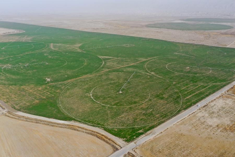
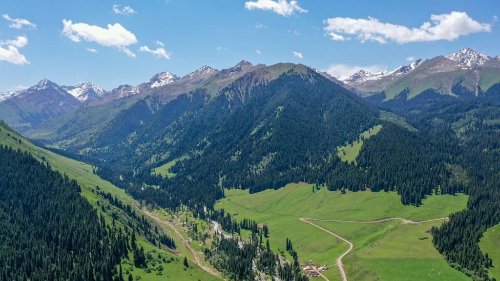
An aerial drone photo taken on April 12, 2025 shows a grassland in Baicheng County, Aksu Prefecture, northwest China's Xinjiang Uygur Autonomous Region. (Xinhua/Ding Lei)
Volunteer Wang Chengbang checks seedlings at a nursery in Korla, northwest China's Xinjiang Uygur Autonomous Region, April 11, 2025. (Xinhua/Ding Lei)
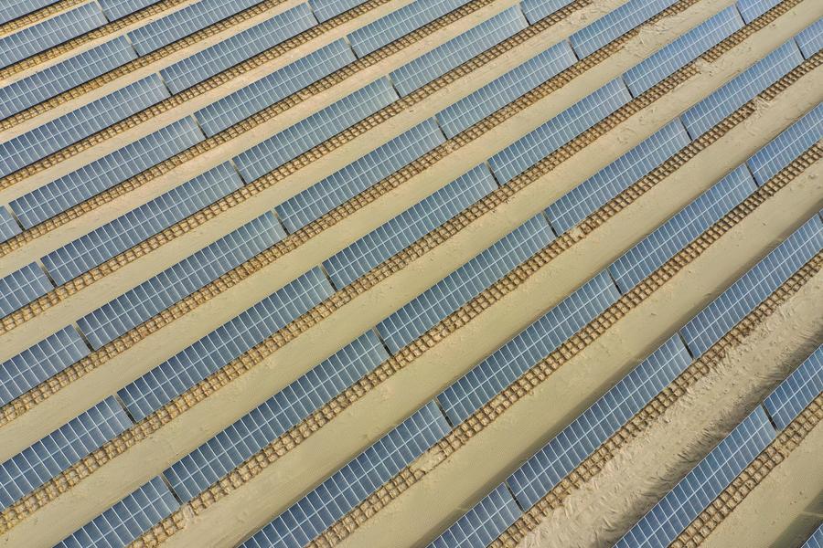
An aerial drone photo taken on April 13, 2025 shows a photovoltaic power project in Xayar County, Aksu Prefecture, northwest China's Xinjiang Uygur Autonomous Region. (Xinhua/Ding Lei)
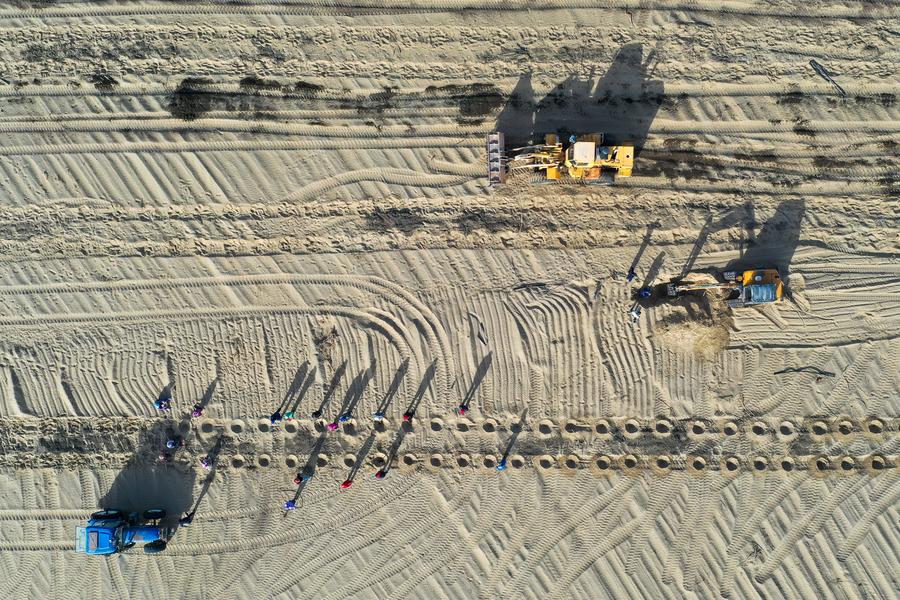
An aerial drone photo taken on April 9, 2025 shows staff members planting seedlings at a sand-control base in Qiemo County, the Mongolian Autonomous Prefecture of Bayingolin, northwest China's Xinjiang Uygur Autonomous Region. (Xinhua/Ding Lei)
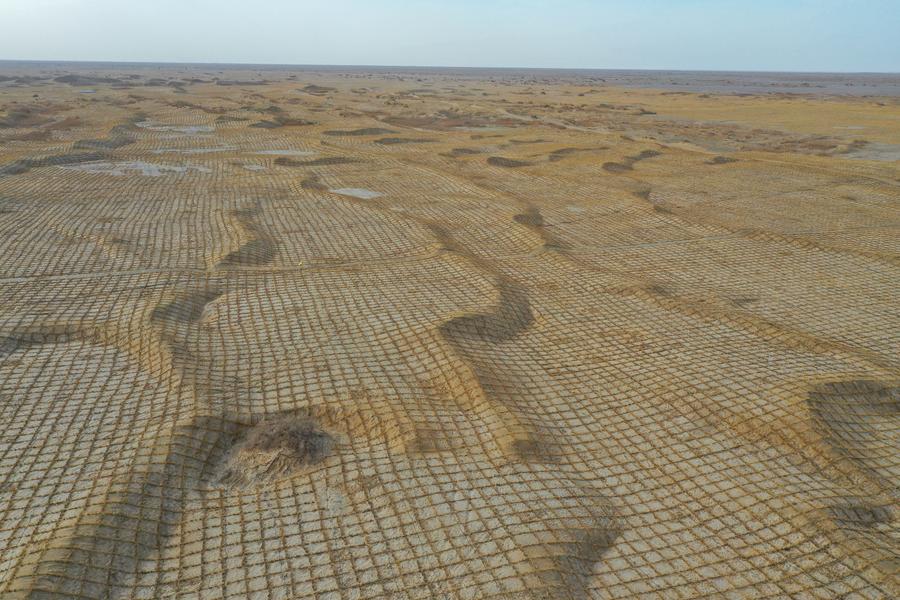
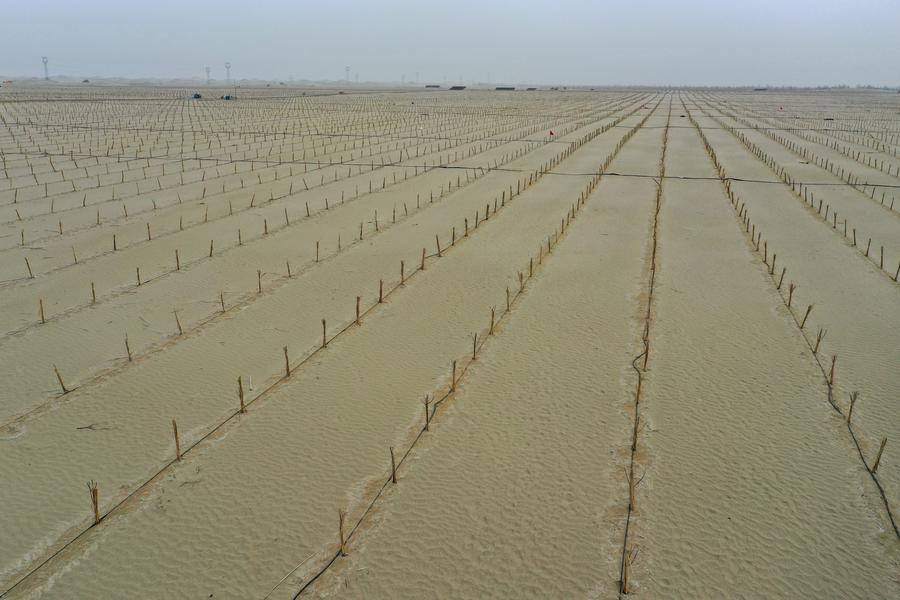
An aerial drone photo taken on April 8, 2025 shows checkerboard sand barriers in Minfeng County of Hotan Prefecture, northwest China's Xinjiang Uygur Autonomous Region. (Xinhua/Ding Lei)
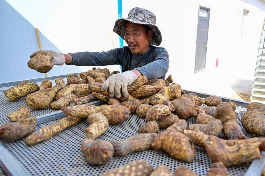
A staff member sorts cistanche at a cistanche planting base in Qiemo County, the Mongolian Autonomous Prefecture of Bayingolin, northwest China's Xinjiang Uygur Autonomous Region on April 9, 2025. (Xinhua/Ding Lei)
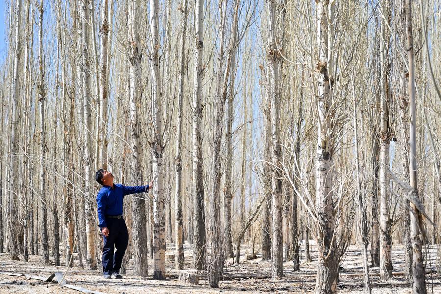
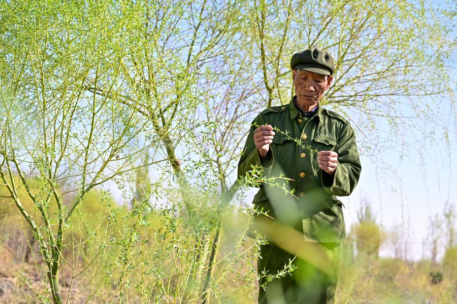
Fu Guoxi checks the trees at a green belt built by his father Fu Zhizhou in Hejing County, the Mongolian Autonomous Prefecture of Bayingolin, northwest China's Xinjiang Uygur Autonomous Region, April 11, 2025. (Xinhua/Ding Lei)
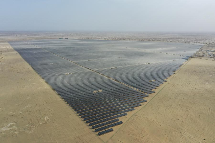
An aerial drone photo taken on April 13, 2025 shows a photovoltaic power project in Xayar County, Aksu Prefecture, northwest China's Xinjiang Uygur Autonomous Region. (Xinhua/Ding Lei)
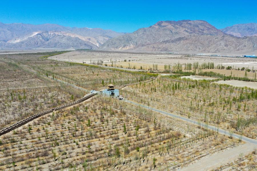
An aerial drone photo taken on April 11, 2025 shows a forest park in Hejing County, the Mongolian Autonomous Prefecture of Bayingolin, northwest China's Xinjiang Uygur Autonomous Region. (Xinhua/Ding Lei)
Photos


Related Stories
- The sky's the limit for Xinjiang herder chasing lifelong dream of flight
- Ice and snow sports attract tourists to Xinjiang
- Over 9,000 children to benefit from Red Cross heart screening program in Xinjiang
- View of Tekes County in China's Xinjiang
- Chinese scientist turns desert into oasis, boosts rural economy in NW China's Xinjiang
Copyright © 2025 People's Daily Online. All Rights Reserved.
 久久精品视频免费试看