The photo taken on June 5, 2015, shows the satellite picture of the core area before the Tianjin blasts. [Photo: cresda.com]
Two before-and-after satellite pictures showing the core area of the Tianjin blasts have been released for the first time.
Before the fatal explosions took place, the parking lots, buildings and roads in the core area could be spotted clearly in the satellite picture.

The photo taken on August 17, 2015, shows the satellite picture of the core area after the Tianjin blasts. [Photo: cresda.com]
By comparison, in the satellite photo after the accident, it's difficult to see the outline of the roofs of the buildings. A large black crater caused by the explosions was also clearly visible.
After the explosions rocked the city, as an emergency response, several high-resolution remote sensing satellites have been deployed since August 13, to take images of the core area.
The data collected by these satellites have been provided to pertinent departments to help with the disaster assessment and rescue work.
So far, China Center for Resources Satellite Data and Application has obtained and shared a total of 9 pieces of image data of the blast area.
 In pics: album of PLA grand military parades
 Chinese tanks in National Day Parade
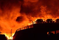 In pics: shocking aftermath of Tianjin blasts
 Indomitable Chinese people during WWII
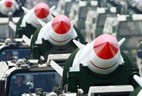 Awesome Chinese missiles
 Amazing photos of Chinese Air Force in parade
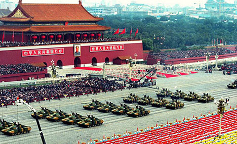 Chinese tanks in National Day Parade
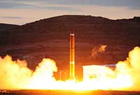 Striking moments when strategic missiles are launched
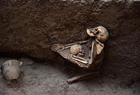 Shocking scenes found in 4000-year-old earthquake relic
 China’s ethnic minority games
 SDR extension may prompt more opening
 Feng shui foundations
 President Park’s China trip a logical choice
Day|Week
 久久精品视频免费试看